Portage River Water Trail
|
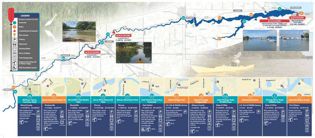
The Portage River Water Trail begins at William Henry Harrison Park in Pemberville and ends at the Lake Erie Beach in Port Clinton - approximately 36 river miles of paddling!
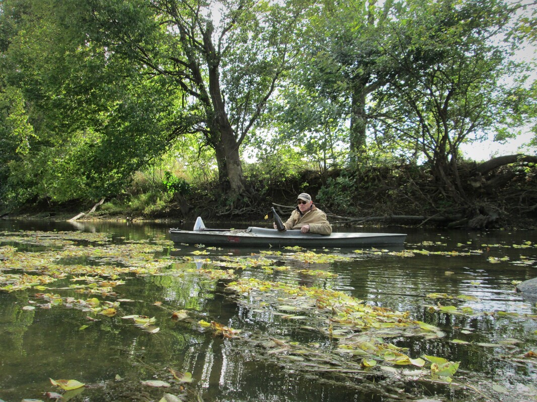
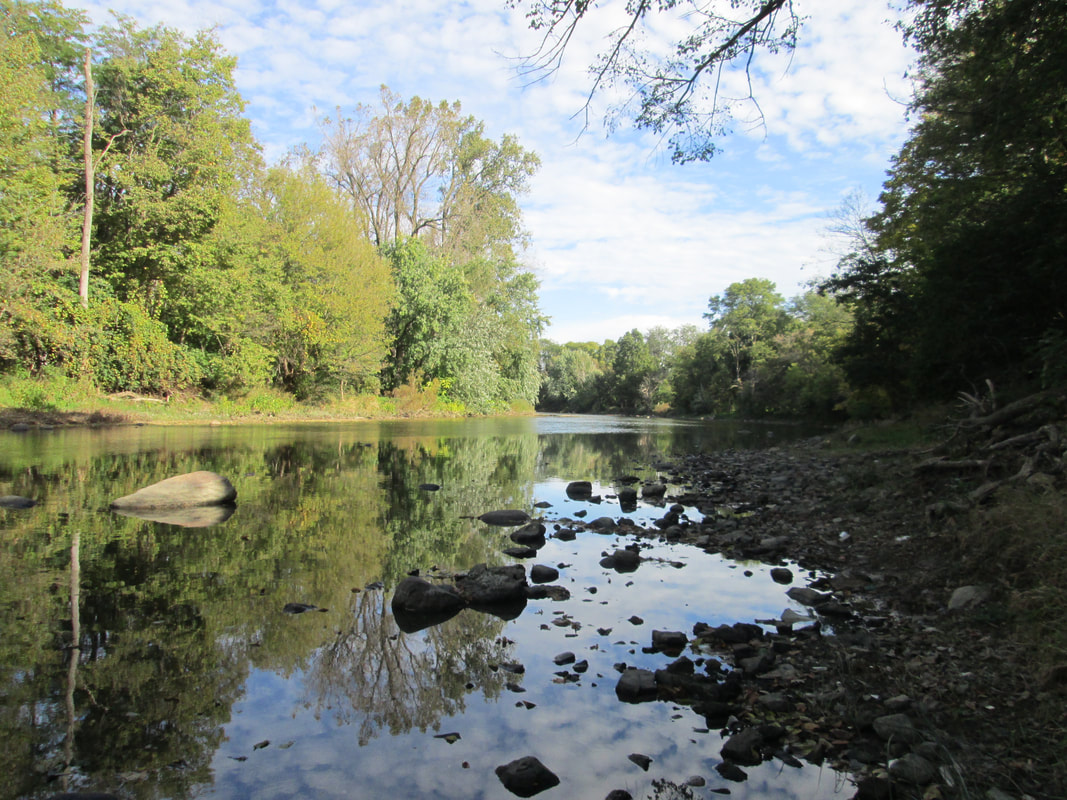
Historical The Portage River routes all the way from Wood County to Port Clinton flowing northeast and drains into Lake Erie. The Portage River gets its name from a French military engineer who named it "R. du Portage" from having to "portage" or carry their boats around the shallow areas of the river frequently. The river is around 41.5 miles long. Most of the streams and ditches that flow into the Portage River are man-made. Native American nations took advantage of the fertile wildlife of the Great Black Swamp by using this area as hunting and fishing grounds. Following Ohio's Indian Removal in the early 19th century, settlers drained the swamp so that the land could be farmed productively. In 1850, legislature was passed to support draining the Great Black Swamp with ditches emptying the Maumee and Portage Rivers into Lake Erie. The mouth of the river has changed locations at least 2 times in the past 300 years. It first drained into Lake Erie near West Harbor. In 1754 maps show the mouth of the river near what is now the Ottawa National Wildlife Refuge. Cultural With the Portage River's large width in areas, it is a popular location for community festivals and recreational activities including; kayaking, boating, canoeing, and fishing. There are numerous parks and wildlife areas along the river including; Little Portage Wildlife Area, Darby Marsh, and Meadowbrook Nature Preserve. Environmental The Portage River Watershed consists of mostly cropland, some urban areas, and very little forest and wetland areas. The river between Oak Harbor and Port Clinton, and the mouth of the river, are considered an estuary because Lake Erie's waters influence this area. Compared to other tributaries of Lake Erie, this lower portion of the Portage River is considered extremely wide, with some locations near 3,000 feet in width. The Portage River drains over 600 square miles of land and has 7 major branches. The majority (90%) of streams and waterways in the Portage River basin provide habitats that support robust populations of fish and other aquatic life. Friends of Ottawa National Wildlife Refuge served as the fiscal sponsor for the launch of the Portage River Water Trail project, securing an Ohio Department of Natural Resources grant to purchase brochures and signs for the partners. |

