Ottawa NWR Satellite Properties and Trails
Ottawa National Wildlife Refuge has a variety of satellite properties located across Ottawa County. Some of these properties are open to hunting, fishing, paddling, hiking, and wildlife observation. Read on to learn more.
Boss Unit
|
This section of Ottawa National Wildlife Refuge is located southeast of the main complex, about a quarter mile south of State Route 2 on Benton Carroll Road.
The Boss Unit is comprised of a variety of habitats and features a parking lot and accessible observation deck for viewing wildlife. It can be a good spot for migrating waterfowl and shorebirds depending on rainfall during the spring and fall. It also features a kestrel box and a bald eagle nest. Put this one on your list of spots to visit! Directions from Ottawa National Wildlife Refuge: Travel east (left) on SR 2, then turn south (right) on Benton-Carroll Rd. The Boss Unit is approximately a quarter of a mile down the road on your right. Parking Area; Observation Platform; Wildlife Observation/Photography; No Hiking Open Daylight Hours Only |
Cedar Point National Wildlife Refuge
|
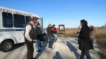
Explore a remote refuge with a small group of 15 and no one else in sight. Since Cedar Point is closed to the public, special bus tours will take you to explore with a guide. Warblers of all kinds line the trees along the dikes. Sandhill cranes typically nest here as well. (The guides tend to fight over these trips because They. Are. Outstanding!) Check the calendar of events for details. Reservations are required but the tours are free.
A small section of Cedar Point NWR is open seasonally for fishing and kayaking. Please call 419-898-0014 for details. |
Crane Creek Estuary Trail
|
This half mile loop trail is located at the mouth of Crane Creek right along Lake Erie. The Crane Creek Estuary trail offers great views of migrating waterfowl, songbirds, and wading birds as you explore lake shore, beach, estuary, shrub/scrub, and wetland habitats.
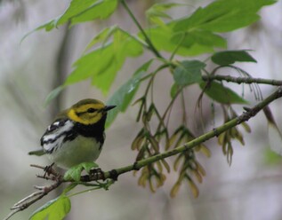
You can easily turn the half mile loop trail into a longer hike by following the trail around Pool 1. During migration, this will provide a more open view of the estuary and additional opportunities for migrating warblers in the cottonwoods and willows. Blackburnian, black-throated blue, black-throated green, palm, pine, northern parula and yellow warblers frequent the area in April and May. You might even spot a cerulean or Kirtland's here. Sora, pelicans, or gallinules wouldn't be out of the question. Directions from Ottawa National Wildlife Refuge: There are two ways to access this trail from the refuge. Those looking for the easy route should drive east (left) on Route 2 to the Magee Marsh entrance on the left approximately a mile down. Drive all the way to the last parking lot, park, and look for the Crane Creek Estuary Trail sign. Those looking for an adventure may opt for the seasonal trail making this a 3 mile hike. Park at the refuge's trail head parking lot, and walk down the Pool 1 trail to connect with the Estuary. Parking area; Wildlife Observation/Photography, Gravel/Grass/Sand Trail. Bank fishing access on the beach and lake, but not in the marshes. Open Daylight Hours Only |
Grimm Prairie
|
Located on the western edge of the main complex, Grimm Prairie is an excellent spot to look and listen for sparrows, meadowlarks, bobolinks and dickcissels with potential for golden plovers if conditions are right. This restored prairie habitat offers a parking area where you can set up a scope, or hike down the grass trail to explore further. Henslow and grasshopper sparrows have been spotted here during migration. Keep an eye to the sky for migrating hawks and resident Sandhill cranes.
Directions from Ottawa National Wildlife Refuge: Travel west (right) on SR 2, then turn north (right) on Stange Rd. Turn west (left) on Krause Rd. Grimm Prairie will be approximately half a mile down on your left. Parking area; Grass Hiking Trail; Wildlife Observation and Photography. Open Daylight Hours Only |
Main Complex Hiking and Driving Trails
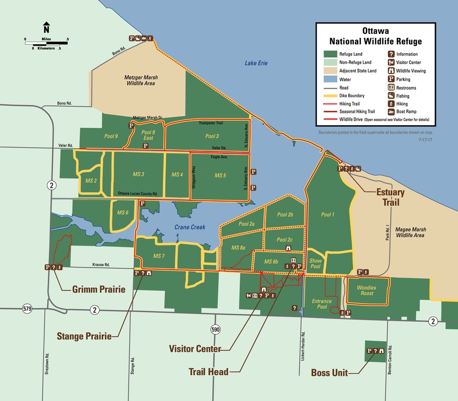
The main trails at Ottawa National Wildlife Refuge can be accessed from the Refuge Visitor Center or from the Trail Head Parking Lot. The hiking trails are dotted red lines on the map. Trails are mostly gravel or grass trails on earthen dikes. Shade is limited in some locations, so please come prepared with sunscreen and a hat. Wooded walks are also available in the South and North Woods.
Parking areas; Grass and Gravel Hiking Trails; Observation Decks; Wildlife Observation and Photography
Open Daylight Hours Only
Parking areas; Grass and Gravel Hiking Trails; Observation Decks; Wildlife Observation and Photography
Open Daylight Hours Only
Additionally, the refuge offers a 7-10 mile Wildlife Drive. You can take your own vehicle back through the refuge on select days throughout the year. This one way drive begins near the Visitor Center Parking Lot and ends on Veler Rd not far from Route 2.
Marinewood Unit
|
The Marinewood Unit is located on SR 163 between Oak Harbor and Port Clinton. It is the old Marinewood Golf Course. Since being acquired by the U.S. Fish and Wildlife Service in 2014, it is now the site of a pollinator restoration and tree restoration project. As the Refuge Private Lands Biologist said, "Can you think of any better place for a butterfly?"
The Friends of Ottawa National Wildlife Refuge are working to restore the property and provide additional public use opportunities in the coming years. A kayak launch, restroom, gravel trail, and RV camp host site are planned for this area. Directions from Ottawa National Wildlife Refuge: Turn east (left) on SR 2. Turn south (right) onto SR 19. Turn east (left) onto SR 163. Located at 4640 W. Harbor Rd (SR 163), Port Clinton, OH 43452. Parking Area; Wildlife Observation/Photography; Grass Hiking Trail Open Daylight Hours Only |
Middle Toussaint Unit
|
Public Hunting Area; Parking Area; Wildlife Observation/Photography; No defined hiking trails; Kayak Launch; Bank Fishing Access
Open Daylight Hours Only |
This unit is located on North Toussaint Road, just east of Benton Carroll Road and approximately 4 miles southeast of the main refuge complex. This 70-acre site is home to a tree restoration project... you'll know that you are here when you see all of the plastic tubes sticking up out of the earth! These are guards to protect the young trees from grazers like rabbits and deer. In addition to the tree restoration and prairie habitat, the property is also right next to the Toussaint Creek promising a variety of bird and wildlife species. This spot could get really birdy during spring migration with potential for sparrow species, dickcissels, wood warblers, and herons.
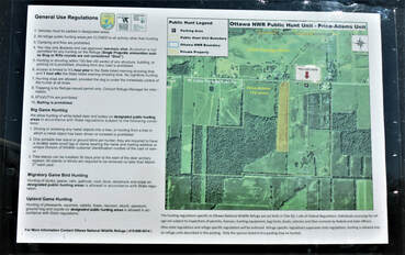
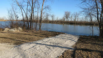
The Middle Toussaint now has a parking lot and kayak launch for visitors to use. During the hunting season, this is also a public hunting area. Friends of Ottawa National Wildlife Refuge raised funds for this site during the #givingtuesday appeal in 2017. This is a great place to bird by boat or to just set up a chair and listen. Hunting of the listed species is allowed in accordance with state regulations. Only the species listed may be hunted. Trapping is allowed with a refuge issued permit only. Contact the refuge for a permit. For more information see the hunt brochure. Directions from Ottawa National Wildlife Refuge: Travel east (left) on SR 2, then turn south (right) on Benton-Carroll Rd. Turn east (left) on North Toussaint Rd. The Middle Toussaint Unit will be on your left and right, approximately 3/4 mile down the road. GPS coordinates are 41.572750 N, -83.173093 W |
Navarre Marsh
|
The Navarre Marsh unit is about five miles east of the refuge around the Davis-Besse Nuclear Power Station. Access to this area is by permit or special tour only. Please see the calendar of events for tour availability.
No public access. |
Stange Prairie
|
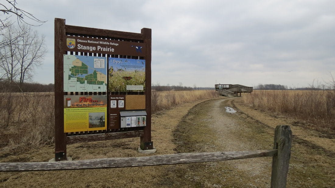
Stange Prairie is located on Stange Road, north of SR 2 and about two miles west of the main entrance road.
The habitat here is great for northern harriers and short eared owls in the winter. The observation deck provides an overlook into the southern edge of the wildlife refuge, and provides a good viewing spot for migrating waterfowl in the refuge pools. Once spring arrives, you can expect to see eastern meadowlarks, dickcissels, bluebirds, tree swallows, and sparrows in the grassland. Directions from Ottawa National Wildlife Refuge: Travel west (right) on SR 2. Turn north (right) onto Stange Rd. Stange Prairie will be on your right approximately half a mile down. Parking Area; Wildlife Observation/Photography; Observation Platform Open Daylight Hours Only |
Turkey Run Unit
|
Public Hunting Area; Parking Area; Hiking/Photography Access
Open Daylight Hours Only |
Located roughly 16 miles southeast of Ottawa National Wildlife Refuge, the Turkey Run Unit is a public hunting area near the Little Portage River. Outside of hunting season, folks are welcome to make use of this area for hiking, wildlife observation, and photography. The 266 acre parcel features habitats varying from woods to prairie to pools, and could host an abundance of wildlife and bird species. There is a gravel parking lot here, but no defined trails. This site is open during daylight hours only. Hunting of the listed species is allowed in accordance with state regulations. Only the species listed may be hunted. Trapping is allowed with a refuge issued permit only. Contact the refuge for a permit. For more information see the hunt brochure. The property recently added to the east side of this unit is not open to hunting yet as it still needs to be surveyed and posted.
Directions from Ottawa National Wildlife Refuge: Travel east (left) on SR 2, then turn south (right) on SR 19. Just outside of Oak Harbor, turn east (left) on CR 17. Turn south (right) onto S. Muddy Creek North Rd. Turn east (left) on W. Little Portage East Rd. The Turkey Run Unit will be approximately a mile down the road on your right. GPS coordinates are 41°28'44.3"N - 83°03'41.8"W |
Turtle Creek Island Unit
|
The Turtle Creek Island Unit is located about 4 miles southeast of the main complex on Duff-Washa Rd. The Turtle Creek Island Unit was purchased by Ducks Unlimited in 2016 and is now part of Ottawa National Wildlife Refuge. In 2017, Friends of Ottawa raised funds to install a parking lot and canoe/kayak launch here. Donors Ruth Ann and Daniel Fraser were happy to fund the project in full in memory of Harvey Fraser.
Directions from Ottawa National Wildlife Refuge: Travel east (left) on SR 2, then turn south (right) on Benton-Carroll Rd. Turn east (left) on Duff Washa Rd. The Turtle Creek Island Unit is approximately a mile down the road on your left. Parking Area; Wildlife Observation/Photography; Kayak Launch Open Daylight Hours Only |
Two Rivers Unit
|
The Two Rivers Unit has 73 acres that are open to the public. This unit is located South of Oak Harbor along the Portage River. Hunting is limited to the area north of the river. Hunting of the listed species is allowed in accordance with state regulations. Only the species listed may be hunted. Trapping is allowed with a refuge issued permit only. Contact the refuge for a permit. For more information see the hunt brochure.
Parking for this unit is located in the 6000 block of W. Little Portage East Road. GPS coordinates are 41°28'44.3"N - 83°03'41.8"W. Directions from Ottawa National Wildlife Refuge: Turn left (east) on SR 2. In approximately 3 miles, turn right (south) on SR 19. In approximately 7.4 miles, turn left (east) onto W. Oak Harbor Southeast Rd (CR 17). In 3.2 miles, turn right (south) on S. Muddy Creek North Rd. Turn left (east) onto W. Little Portage East Rd. The parking area will be on your right in approximately 1.4 miles. |
Upper Toussaint Unit
|
The Upper Toussaint Unit is a 77 acre unit located along the Toussaint River between Rocky Ridge and Lickert-Harder Roads. Hunting is limited to the area north of the river. Hunting of the listed species is allowed in accordance with state regulations. Only the species listed may be hunted. Trapping is allowed with a refuge issued permit only. Contact the refuge for a permit. For more information see the hunt brochure.
Directions from Ottawa National Wildlife Refuge: Travel south on Lickert-Harder Rd. Turn right onto W. Toussaint North Rd. Turn left on Rocky Ridge Rd. To park, enter the driveway at the intersection of Rocky Ridge Rd and W. Toussaint North Rd. The GPS coordinates for this unit are: 41°33'10.2"N 83°12'40.3"W. Parking Area: Public Hunting. Open Daylight Hours Only. |
West Harbor Landing
|
West Harbor Landing is a 16 acre wetland parcel located on SR 53 east of Port Clinton. The site now features a parking lot and pollinator restoration habitat, kayak launch, kiosk, and observation/fishing deck. West Harbor Landing is a good spot to use binoculars to look at ducks, eagles, and gulls!
Friends of Ottawa National Wildlife Refuge raised $12,000 towards West Harbor Landing in 2018. If you are interested in helping to further improve the site, please donate today. Directions from Ottawa National Wildlife Refuge: Travel east (left) on SR 2. Take the 53 North Exit. West Harbor Landing is located a half mile north of the 163 intersection. Approx 35-40 minutes drive. Parking Area; Wildlife Observation/Photography; Kayak Launch; Bank Fishing Access Open Daylight Hours Only |
West Sister Island National Wildlife Refuge
|
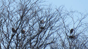
West Sister Island National Wildlife Refuge: heron/egret rookery located 9 miles off shore of the main complex. Public access is not permitted. Tours around the refuge are scheduled each year. Learn more here.
No public access. |
Woodies Roost
|
This loop trail is a lovely, secluded walk for anyone looking to step away from the crowds. Views of wetlands and woods provide opportunities for warblers, thrushes, indigo buntings, swallows, and waterfowl - particularly wood ducks.
Directions from Ottawa National Wildlife Refuge: There are two ways that you can reach Woodies Roost from the main refuge. Those looking for the easy route should drive east (left) on Route 2 to the Magee Marsh entrance on the left approximately a mile down. Drive to the Sportsmen's Center Parking Lot and park. Walk directly east across the main road and you should see the sign for Woodies Roost. Those looking for an adventure may opt for the Partnership Trail, extending the hike to approximately 4 miles. Park at the Refuge's Trail Head Parking Lot and walk down the Magee -Ottawa Partnership Trail to Magee's main road. You can connect to Woodies Roost from there. *This is also a fun biking excursion! Nearby Parking Area; Wildlife Observation/Photography; Grass Hiking Trail. Closed seasonally for hunting. Open Daylight Hours Only |

